We are so pleased to announce the Cheshire Walkers schedule of walks for 2023 - join us! Please see below for the full 2023 schedule. For all walks, we will meet at 9:00 am. This group is free and open to the public.
To sign up for a walk, please click here and fill out the online form.
For more information, contact Kate Sullivan at kate@monadnockconservancy.org or call 603-357-0600, ext. 101.
Background
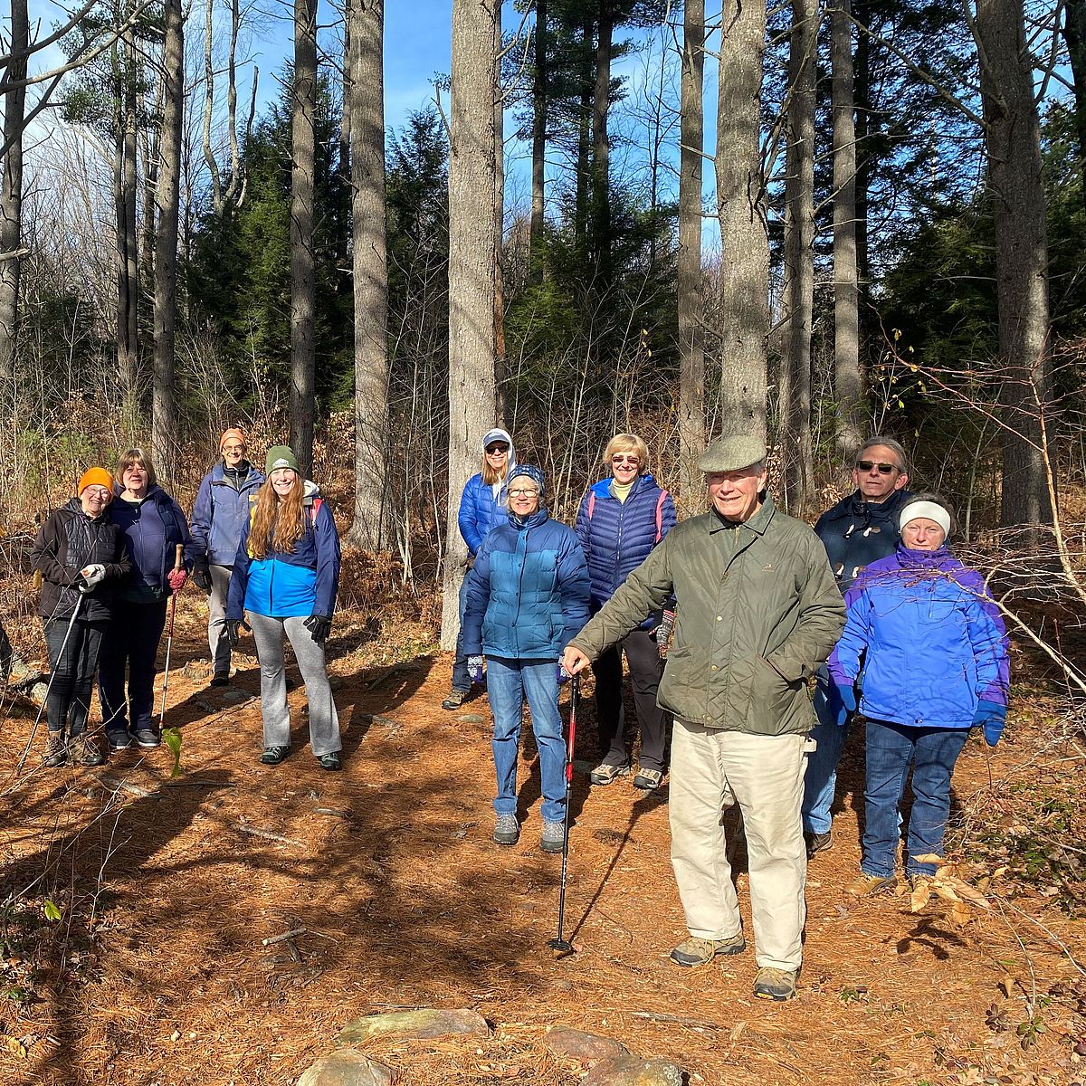
In the fall of 2022, the Conservancy assumed leadership of the Cheshire Walkers. Originally founded and run by Cheshire Medical Center for decades, the Cheshire Walkers is a walking and hiking group for people of most abilities, with an emphasis on seniors and others who might prefer an easier pace. The walks provide an opportunity to exercise the body and the brain, offering participants spirited social interaction and opportunities to learn about the nature they are experiencing.
Schedule 2023
Date: April 11th
Location: Chamberlain Conservation Area/Sip Pond, Fitzwilliam
Led by: Ryan Owens
Description: Encompassing a quarter-mile of frontage on the southern shore of Sip Pond, the Chamberlain Conservation Area on the Cheshire Rail Trail provides fantastic wetland and pond views. We’ll follow the Cheshire Rail Trail from a trailhead on Old Turnpike Road to the Peninsula Trail, where pond ice was once loaded onto rail cars for transport to Boston. The trail leads to the tip of Chamberlain Point, where there are great views across the pond to Gap Mountain and Mount Monadnock.
Distance: 2 miles
Breathing: Easy
Footing: Easy, except for a short harder section at the end of the Peninsula Trail.
Date: April 18th
Location: Gramwick Trail, Mountain Brook Reservoir, Jaffrey
Led by: Lindsay Taflas
Description: The Gramwick Trail is an easy out-and-back hike through gently rolling terrain along the scenic shoreline of Mountain Brook Reservoir in Jaffrey. The trail is named for Herb and Colette Gramm, who donated the property to the Monadnock Conservancy, and their friend Tom Sedgwick, who helped the Gramms build the trail for the enjoyment of the public. Occasionally, hikers will need to be careful as they walk over protruding tree roots and footbridges.
Distance: 2 miles
Breathing and Footing: Easy
Date: April 25th
Location: Tippin Rock, Hewes Hill, Swanzey
Led by: Kate Sullivan
Description: Come for the gorgeous views, stay to learn the secret technique for making a massive glacial erratic boulder sway with your bare hands! We’ll walk from a sunny hayfield through a hemlock forest and on to the top of Hewes Hill, passing the iconic rock along the way. Though the climb to the Rock is steadily uphill, it is scarcely 0.7 miles (one way), and the footpath itself is smooth.
Distance: 1.8 miles
Breathing: Moderate
Footing: Easy
Date: May 2nd
Location: Cunningham Pond Conservation Area, Peterborough
Led by: Ryan Owens
Description: Peterborough’s former public water supply and now site of the town beach, Cunningham Pond is a jewel perched high above the town in the shadow of Pack Monadnock. The main two-mile loop traverses woodlands and a hemlock grove, crossing two streams on sturdy wood bridges. Then, it climbs to a large hay field with sweeping views. From the field, the trail continues down to an old carriage road, following the pond’s edge before looping back to the main trail. The terrain is generally rolling, with only short steeper sections, and the surface is a mix of flat sections and some portions that require stepping over rocks and roots.
Distance: 2.5 miles
Breathing: Moderate
Footing: Moderate
Date: May 9th
Location: Mt. Caesar, Swanzey
Led by: Lacy Gillotti
Description: Swanzey’s diminutive but rewarding Mt. Caesar is named for Caesar Freeman, believed to be one of the first African Americans in the region (1750s), who lived at the base of the mountain. The Swanzey Conservation Commission and other volunteers recently completed several new, well-marked trails on Mount Caesar. We'll hike the Tower Trail, the longest but easiest route to the summit, where open ledges afford expansive views to the south. The trail follows an old road that is rutted in places, steadily climbing over its full distance.
Distance: 2 miles
Breathing: Moderate
Footing: Moderate
Date: May 16th
Location: Weinberg Property, Rindge
Led by: Anne McBride
Description: This 300-acre private property in Rindge is protected by a conservation easement held by the Monadnock Conservancy. The landowners first protected the property in 2009 and have since added more land to the easement over time. This loop walk meanders through the woods and a field, taking in views of a wetland and rambling along Lord Brook.
Distance: 1.8 miles
Breathing: Easy
Footing: Moderate, as there are roots along the trail.
Date: May 23rd
Location: Wales Preserve, Sharon
Led by: Lindsay Taflas
Description: The trails at the Wales Preserve, owned by The Nature Conservancy, form a loop that is roughly 2.3 miles in length and follows the Gridley River. The footing is easy, though occasionally hikers will need to be careful as they cross over protruding tree roots or around wet spots. There are no steep climbs, but there are slight gradual elevation changes. There is a medium-sized orange and white Nature Conservancy sign marking the trailhead that can be seen from Spring Hill Road.
Distance: 2.3 miles total
Breathing and Footing: Easy to Moderate
Date: May 30th
Location: Carroll's Hill, Swanzey
Led by: Ryan Owens
Description: The Swanzey Open Space Committee worked with the Tolman family to create a trail up to the top of Carroll’s Hill, named for the late Carroll Tolman, a Swanzey farmer. This trail traverses the conserved property’s hemlock and hardwood groves and affords views of the hilltop forests. A more strenuous hike, it starts on the Old Calvin Curtiss Road before winding up the north slope of the hill through mixed forests and arriving at a scenic overlook amidst dramatic ledges. This trail crosses privately owned land and is maintained by the Tolman family and volunteers.
Distance: 3 miles
Breathing: Moderate to hard (in steep sections)
Footing: Moderate to hard (in steep sections)
Date: June 6th
Location: Sargent Center, Peterborough
Led by: Richard Pendleton
Description: Located on Sargent Camp Road off Windy Row on the Peterborough-Harrisville border, the Center has trails on 700 acres for hiking/cross-country skiing. We will explore Half Moon Pond and Nubanusit Brook on about 2-3 miles of primarily flat and wide trails (one short climb and descent), but there are many more trails to return to and explore later or to extend the visit. There may be some wet spots to navigate and roots and rocks of course! The land is owned by Boston University. It has been a long time-camp location for school groups.
Distance: 3 miles
Breathing and Footing: Moderate
Date: June 13th
Location: Kroka Expeditions trails, Marlow
Led by: Alex Metzger
Description: Kroka Expeditions is a non-profit wilderness expedition school based on a year-round organic farm in Marlow. Diverse offerings range from week-long programs in Marlow to an annual semester expedition from the Canadian Arctic to New York City by ski and canoe. Kroka welcomes visitors to its network of public trails on the Marlow campus. We’ll explore the property, visiting a beaver pond and Porcupine Cliffs, and see some of the rustic structures that students call home in all seasons. Though not long, this is a more challenging walk due to sections of the trail with poor footing, including stepping up and down boulders and crossing streams on rocks.
Distance: 1.5 miles
Breathing: Moderate
Footing: Hard