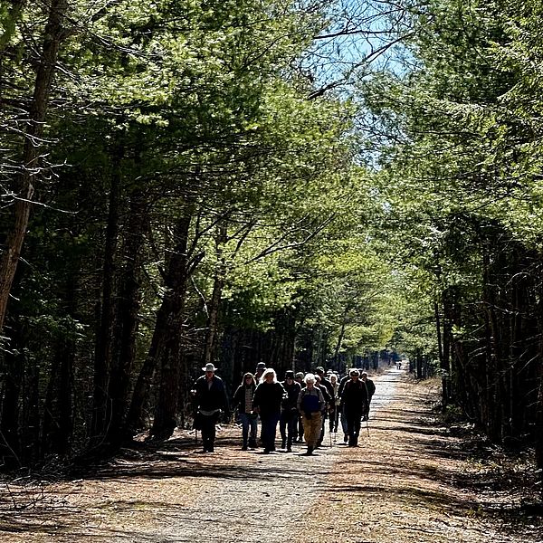
We are so pleased to announce the Cheshire Walkers schedule for Fall 2025 - join us! Please see below for the schedule. This group is free and open to the public.
NOTES:
Please arrive to the walk location by 9:15am, walks will begin at 9:30am.
Although we love dogs at the Conservancy, we ask that you keep them at home during Cheshire Walkers outings for everyone's safety and comfort.
For this season, we will not be meeting walkers at the Department of Public Works in Keene. Hikers are welcome to meet on their own and carpool and our team will meet you at the trailheads. If you are planning on meeting at DPW, we suggest you arrive there by 8:45am.
To sign up for a walk, please click here and fill out the online form.
For more information, contact Kate Sullivan at kate@monadnockconservancy.org.
Background
The Conservancy assumed leadership of the Cheshire Walkers in the fall of 2022. Originally founded and run by Cheshire Medical Center for decades, the Cheshire Walkers is a walking and hiking group for people of most abilities, with an emphasis on seniors and others who might prefer an easier pace. The walks provide an opportunity to exercise the body and the brain, offering participants spirited social interaction and opportunities to learn about the nature they are experiencing.
Fall walks
Date: 10/7/25
Location: Widow Gage Town Forest, Fitzwilliam
Walk leader: Jen Weimer
Additional staff members on the walk: Joy Fletcher and Martin Royle
Will staff meet walkers to carpool: No
Description: Widow Gage Town Forest is managed by the Fitzwilliam Conservation Commission and protected by a Monadnock Conservancy conservation easement since 2009. The blue trail is a 1 mile lollipop over easy to moderate terrain (due to roots and rocks). We can stop at the beaver pond (about 0.3 mile) and the Whitcomb cellar hole (about 0.5mi). There are lots of stone walls, a huge rock pile, and an interesting curved wall along the trail.
Round-trip distance: 1 mile
Breathing: Easy
Footing: Easy
Directions: From Route 101/Route 12 traffic lights in Keene, take Route 12 South to Lower Troy Road, Fitzwilliam (opposite AB Tech on left). Bear right onto Lower Troy Road, drive 0.5m. Stay straight onto Upper Troy Road (caution: traffic from left does not stop) until stop sign. Make an immediate right turn (at Fitzwilliam Inn) onto Richmond Road in the center of Fitzwilliam. Drive 0.7m to Rhododendron Rd (Stop sign). Turn right and drive 2.9m on Rhododendron Rd (past Rhododendron Park; note the road will be come gravel) to the parking area and kiosk on the right.
NOTE: LOCATION HAS CHANGED FOR THE LAST WALK
Date: 10/14/25
Location: Beech Hill, Dublin (formerly Sip Pond)
Walk leader: Anne McBride
Additional staff members on the walk: Lindsay Taflas and Kate Sullivan
Will staff meet walkers to carpool: No
Description: We will hike up a road to the top of Beech Hill where there is a new accessible trail with an expansive overlook of the Contoocook Valley, Crotched Mountain and the Wapack Range. We will then be on a trail to the South Overlook with a view of Dublin Lake and Mount Monadnock. We will circle back to the access road and walk back down the road to the parking lot.
Round-trip distance: 1.5 miles
Breathing: Moderate
Footing: Easy for most of the walk, but moderate on 0.25 mile that is on wooded trail.
Directions: From Keene, take Route 101 east 11.5 miles to Dublin. Just before the Dublin Fire Department in Dublin's village, turn left onto Dublin Road. Continue 0.5 miles to Beech Hill Road on the left. Beech Hill Road is not marked, but it is just after an entrance into the Dublin School that is William North Road. Climb Beech Hill Road 0.2 miles to the trailhead and gate. Park on the right.
